3D Earth profiling using Geophinex scanners
PROJECT
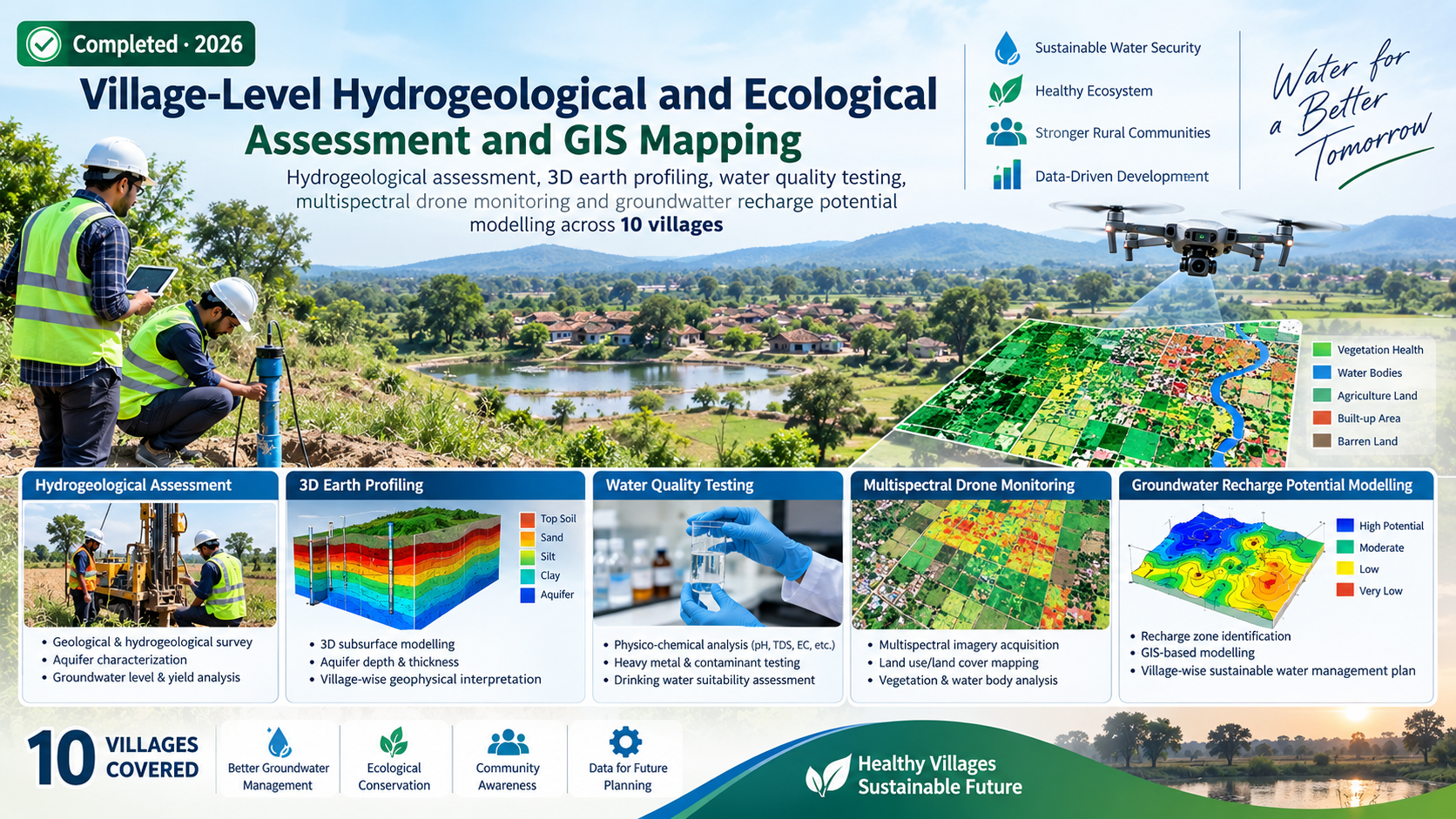
Village-Level Hydrogeological and Ecological Assessment and GIS Mapping
Hydrogeological assessment, 3D earth profiling, water quality testing, multispectral drone monitoring and groundwater recharge potential modelling across 10 villages.
PROJECT OVERVIEW
Context, evidence and action.
Hydrogeological assessment, 3D earth profiling, water quality testing, multispectral drone monitoring and groundwater recharge potential modelling across 10 villages.
ClientParmarth Samaj Sevi Sansthan (PSSS)
LocationChikhli & Khamgaon Blocks, Buldhana District, Maharashtra
StatusCompleted · 2026
METHODOLOGY & COMPONENTS
Selected technical components.
Double Ring Infiltrometer assessment
Water quality testing
Multispectral drone monitoring
Random Forest groundwater recharge potential modelling
AWS Water Stewardship framework
STUDY AREA
Spatial context.
Map, imagery and field photographs can be added here to document the project area and evidence.
MAP PLACEHOLDERAdd project study-area map
LET'S WORK TOGETHER